


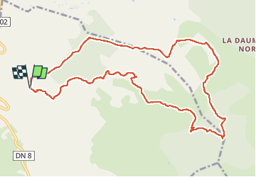


14,8 km | 19,6 km-effort

Utilisateur


Application GPS de randonnée GRATUITE
 SityTrail
IGN / Instituts géographiques
SityTrail World
Le monde est à vous
Randonnée Marche de 12,8 km à découvrir à Provence-Alpes-Côte d'Azur, Var, Le Beausset. Cette randonnée est proposée par Daniel.BRUN-PICARD.
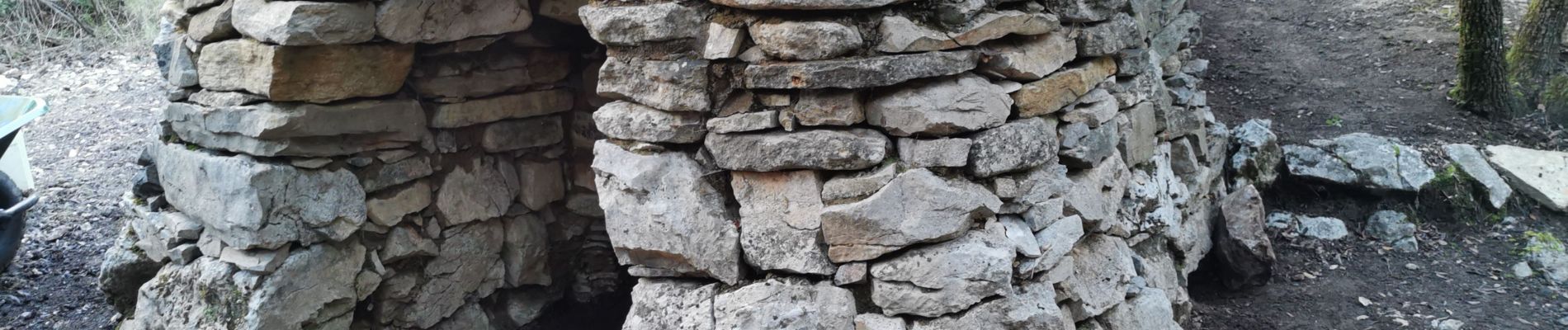
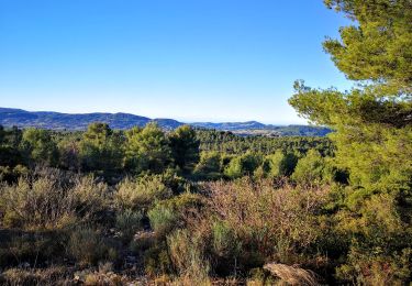
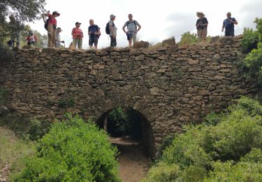
Belle randonnée facile. La montée se fait au frais, dans un vallon ombragé. Merci aux animateurs du Touring Club du Var qui nous ont conduit à bon port parmi de multiples bifurcations sur le chemin du retour.


Marche

Marche
Marche

Marche

Marche

Marche

Marche
Marche

Marche